
File:Europe with flags.png

Size of this preview: 778 × 599 pixels. Other resolutions: 312 × 240 pixels | 623 × 480 pixels | 997 × 768 pixels | 1,280 × 986 pixels | 2,560 × 1,972 pixels | 2,990 × 2,303 pixels.
Original file (2,990 × 2,303 pixels, file size: 789 KB, MIME type: image/png)
'Oto'otoga
| Description |
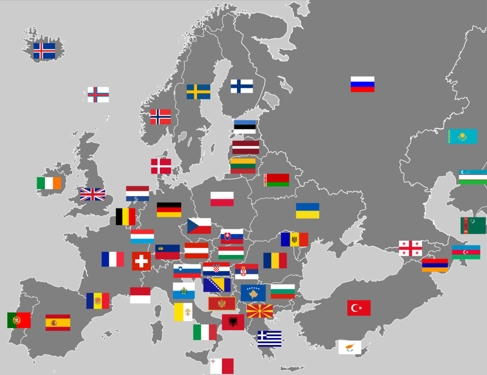
English: Map of European continent with flags. This is not a map of flags in "traditional" Europe, as it includes transcontinental countries associated with Europe but with small or no parts within it. Note: The map inconsistently shows some entirely Central Asian states, some but not all dependent territories, and some but not all disputed states. |
|||
| Date | ||||
| Source | Own work (Original text: I created this work entirely by myself.) | |||
| Author | Joebloggsy (talk) | |||
| Other versions |
|


Licensing
| This work has been released into the public domain by its author, Joebloggsy at English Wikipedia. This applies worldwide. In some countries this may not be legally possible; if so: Joebloggsy grants anyone the right to use this work for any purpose, without any conditions, unless such conditions are required by law. |
Original upload log
Transferred from en.wikipedia to Commons by Drilnoth using CommonsHelper.
The original description page was here. All following user names refer to en.wikipedia.
- 2009-04-01 00:02 Joebloggsy 2990×2303× (821730 bytes) {{Information |Description = Map of Europe with flags. |Source = I created this work entirely by myself. |Date = April 01, 2009 |Author = ~~~ |other_versions = }}
File history
Click on a date/time to view the file as it appeared at that time.
| Date/Time | Thumbnail | Dimensions | User | Comment | |
|---|---|---|---|---|---|
| current | 16:23, 9 Aokuso 2015 | | 2,990 × 2,303 (789 KB) | SiBr4 | Reverted to version as of 09:51, 27 December 2013 - Still doesn't include all partially recognized states (e.g. NKR, N.Cyprus); inclusion of Abkazia/S.Ossetia disagreed with at talk |
| 16:15, 1 Iulai 2014 |  | 2,990 × 2,303 (628 KB) | Roman Poulvas | Kosovo - isn't the only partially recognized state on this map. And if you add only Kosovo, you act with double standards. | |
| 09:51, 27 Tesema 2013 |  | 2,990 × 2,303 (789 KB) | UP9 | Fixed the dark blue color of Ukraine's flag. According to the Constitution of Ukraine flag of Ukraine consists of two horizontal dark blue and yellow stripes, not light blue. | |
| 00:23, 1 Aperila 2009 |  | 2,990 × 2,303 (802 KB) | File Upload Bot (Magnus Manske) | {{BotMoveToCommons|en.wikipedia|year={{subst:CURRENTYEAR}}|month={{subst:CURRENTMONTHNAME}}|day={{subst:CURRENTDAY}}}} {{Information |Description={{en|Map of Europe with flags.}} |Source=Transferred from [http://en.wikipedia.org en.wikipedia]; transferre |
File usage
The following page uses this file:
Global file usage
The following other wikis use this file:
- Usage on ar.wikipedia.org
- Usage on hy.wikipedia.org
- Usage on ro.wikipedia.org
- Europa
- Istoria Europei
- Însemnele Uniunii Europene
- Categorie:Europa
- Categorie:Istoria Europei
- Categorie:Geografia Europei
- Consiliul Europei
- Geografia Europei
- Categorie:Economia Europei
- Drumul european E60
- Drumul european E68
- Alianța Franceză
- Drumul european E81
- Drumul european E58
- Drumul european E581
- Drumul european E576
- Drumul european E574
- Drumul european E578
- Drumul european E01
- Rețeaua de drumuri europene
- Drumul european E06
- Drumul european E79
- Drumul european E05
- Drumul european E28
- Drumul european E03
- Drumul european E70
- Drumul european E87
- Categorie:Europeni după ocupație
- Categorie:2012 în Europa
- Categorie:Ani în Europa
- Categorie:Liste Europa
- Categorie:Secole în Europa
- Categorie:Politica Europei
- Bracteat (monedă)
- Categorie:2013 în Europa
- Categorie:2014 în Europa
- Categorie:1944 în Europa
- Categorie:2011 în Europa
- Categorie:2010 în Europa
- Categorie:Americani fictivi de descendență europeană
- Categorie:2009 în Europa
View more global usage of this file.